








Hiking trail markers: what you need to know
08/26

A yellow sign by the trail, a red-white-red mark on a rock, a cairn on an alpine ridge: if you hike a lot, you’ll come across an amazing variety of trail markers. They all serve the same purpose: to guide you safely to your destination. But what exactly does each color mean, how do the systems differ from country to country, and what should you look out for along the way? Here you’ll learn everything you need to know about hiking markers, so that on your next hike, you’ll always know where you are and where you’re going.
Trail markers: your guide on the mountain
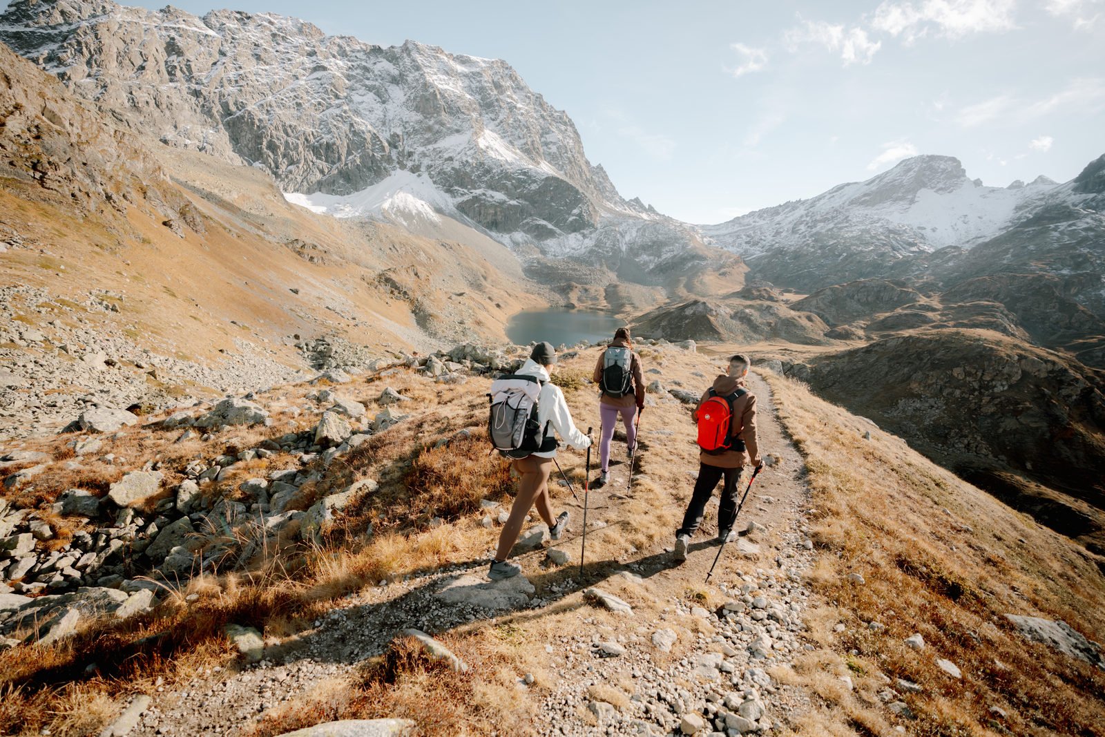
Hiking trails are often part of networks stretching for miles, winding through forests, across pastures, and up into high-alpine terrain. Without clear markers, it would be nearly impossible to find your way through it all. That’s exactly why trail markers are so much more than just colored spots on rocks: they show you the way, provide information on walking times and distances, warn of difficulties, and help with orientation in an emergency – for example, if you need to guide rescue crews to your location after an accident.
To ensure this works reliably, many countries and regions have developed uniform standards. These are usually based on difficulty level, terrain, and target group. If you know the most important symbols, you can better assess tours , choose the right gear , and respond with greater confidence when conditions or the route change.





The different types of trail markers
A well-developed hiking trail consists of a whole range of different markers that together form a reliable wayfinding system:
Signposts: The classic signs at intersections and starting points indicate the direction, destination, and usually the walking time as well. The color and shape often give a clue as to the level of difficulty.
Color markings: Small patches of color on trees, rocks, or posts mark the trail. They appear at regular intervals confirming you're on the right route even between intersections.
Symbols and arrows: In some regions, numbers, letters, or symbols are used to clearly identify specific trails or long-distance hiking routes.
Cairns: In high-alpine terrain without trees or clear trails, small stone piles mark the path. They are particularly helpful on rock glaciers and scree fields.
Ground markings: On sidewalks, in public squares, or in towns, you will sometimes see colored lines or symbols on the ground that guide long-distance hiking trails through populated areas.
Informational signs: Larger signs at start and end points often provide information about the entire route, the elevation profile, specific hazards, or nature reserves.
It is only the combination of these elements that makes a network of paths truly safe and easy to navigate.




Regional differences in trail markers
As helpful as uniform standards may be, there is no single international system. Different countries, and sometimes even individual regions, have developed their own traditions. Anyone traveling across borders should be aware of the most important differences:
Switzerland
Switzerland has one of the densest and best-maintained trail networks in the world. Here, too, colors reflect difficulty: yellow trail markers mean hiking trails in easy terrain. White-red-white markings signal mountain hiking trails that require sure-footedness and good hiking - or mountaineering boots . White-blue-white markings indicate alpine hiking trails, some of which lead across open terrain and include glacier or climbing sections. Signposts also list specific walking times in hours and minutes, which makes it easy to plan your tour down to the hour.
Austria
In Austria, the classification system works much like it does in Switzerland, although the color codes differ slightly. Yellow markings also mean easy trails through valleys or on wide forest roads. Red-white-red markings indicate mountain trails that, as in Switzerland, require sure-footedness and sturdy footwear . Blue-white-blue markings correspond to the Swiss alpine hiking trails: routes that require experience, good physical condition, and, in some cases, alpine equipment. This three-level system is also found in a modified form in parts of Bavaria and South Tyrol.
Germany
In Germany, the system is less consistent. Many regions use their own symbols, such as diamonds, circles, or triangles in different colors. Long-distance hiking trails, such as the Rennsteig or the European long-distance hiking trails, have their own consistent markings. In the Bavarian Alps, the Austrian model is often followed, with red-white-red markings for mountain trails.
Italy and South Tyrol
In Italy, hiking trails are usually marked with white-and-red stripes and a number assigned to that specific trail within the CAI network (Club Alpino Italiano). In addition to the destination, you’ll often find this number on trail signs, which makes it easier to navigate with maps. The difficulty level is also indicated on a scale ranging from T (Turismo) to EEA (Escursionisti Esperti con Attrezzatura).
France
In France, the Fédération Française de la Randonnée Pédestre (FFRandonnée) maintains an extensive network of marked trails. There are three main categories:
GR (Grande Randonnée) refers to long-distance hiking trails and is marked with white-and-red bars.
GRP (Grande Randonnée de Pays) are regional loop trails, recognizable by yellow-and-red markings.
PR (Promenade et Randonnée) refers to local hikes and is usually marked with single yellow bars.
A cross in the respective color marks a path that is not part of any route – in other words, a wrong turn.
USA
In the USA, trail markers vary greatly depending on the region and the managing authority: whether it’s the National Park Service, the U.S. Forest Service, or local organizations. Color-coded blazes on trees that mark the trail’s route are typical. Famous long-distance trails such as the Appalachian Trail (white blazes) or the Pacific Crest Trail have their own clearly recognizable markers. At trailheads, you’ll usually find large informational boards with maps, difficulty ratings, distances, and warnings, for example, about wildlife or current weather hazards. Distances are listed in miles.
International long-distance hiking trails
Long-distance hiking trails connect regions, countries, and sometimes even entire continents – and often have their own clearly recognizable markings, which are posted in addition to local signs. In Europe, for example, these include the E-trails, which stretch from Scandinavia to the Mediterranean. Outside Europe, there are legendary routes such as the Appalachian Trail and the Pacific Crest Trail in the U.S., the Great Divide Trail in Canada, and Te Araroa in New Zealand, which crosses the entire North and South Islands. Each of these routes has its own unique marking system, which is often maintained by volunteers or national organizations. Anyone planning such a hike should familiarize themselves thoroughly in advance with the regional trail markers, difficulty levels, and infrastructure.





Tips for staying safe while on the trail
Even with clear markings, no sign can replace your own judgment. Trails may be altered or temporarily impassable due to severe weather, landslides, or lingering snow. Therefore, do not rely solely on markers:
Map and GPS: A topographic map and a reliable GPS device or offline map app are essential for every tour.
Regular checks: Keep track of when you last saw a marker. After a longer stretch without one, it's better to turn back and reorient yourself.
Take the difficulty level seriously: A blue-marked alpine route is significantly more challenging than a yellow-marked valley trail. Plan accordingly.
Check the weather: Many markings are hard to see in fog or when there's snow on the ground. If visibility is poor, it's better to change your plans.
The right gear for every tour
No matter which marking system you follow, having the right equipment plays a key role in determining how safe and comfortable your tour will be:
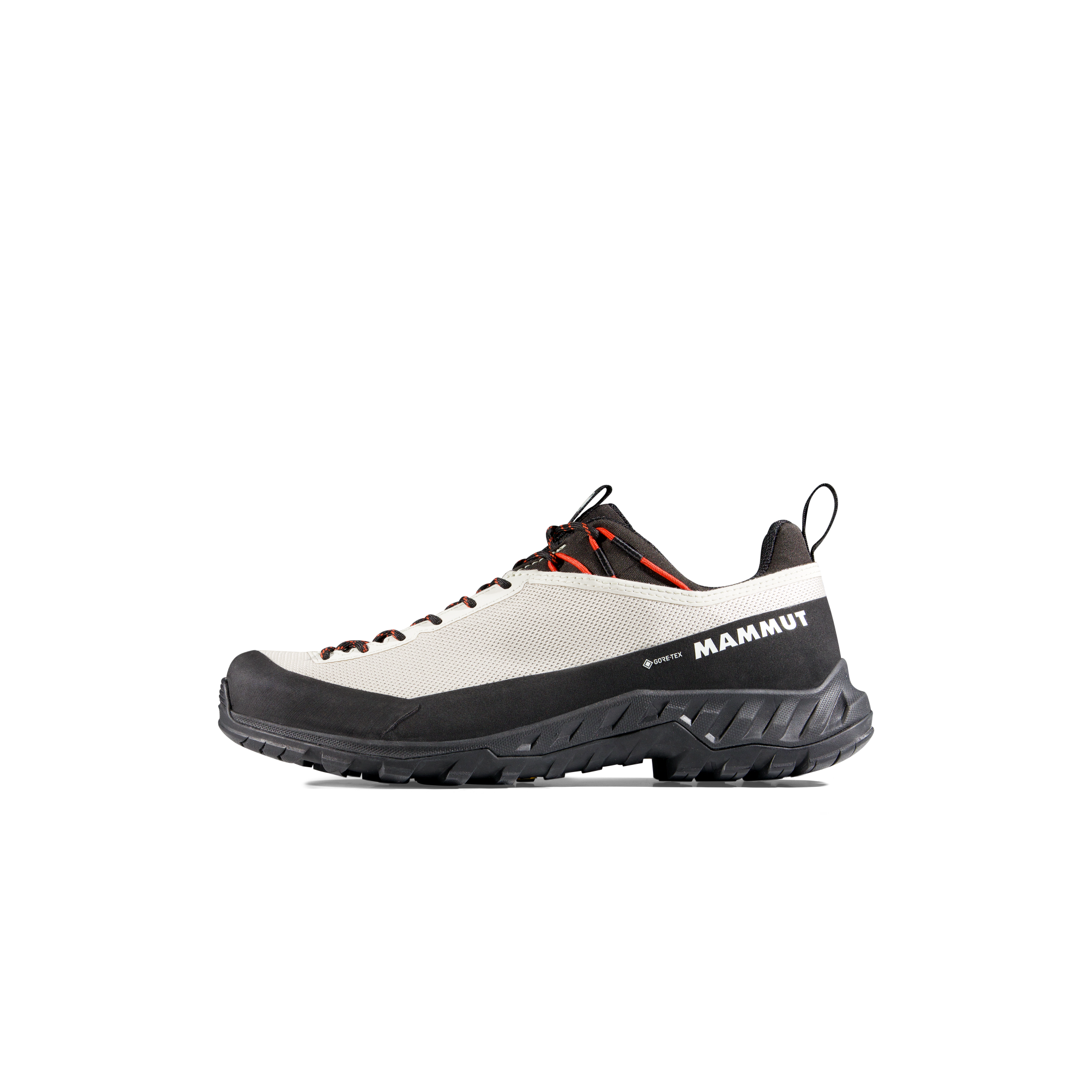
For an easy forest trail, light hiking shoes and comfortable hiking clothes are often sufficient.
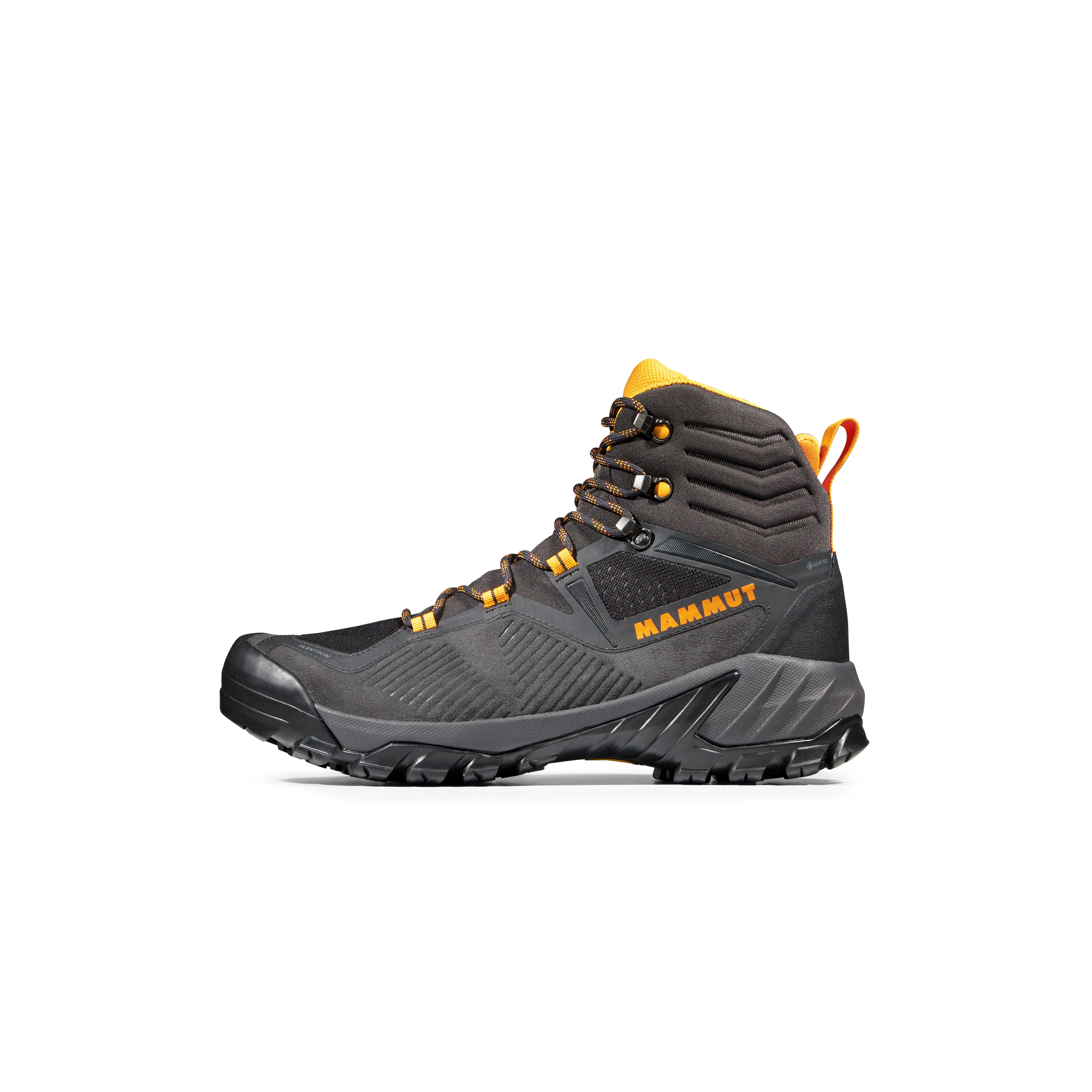
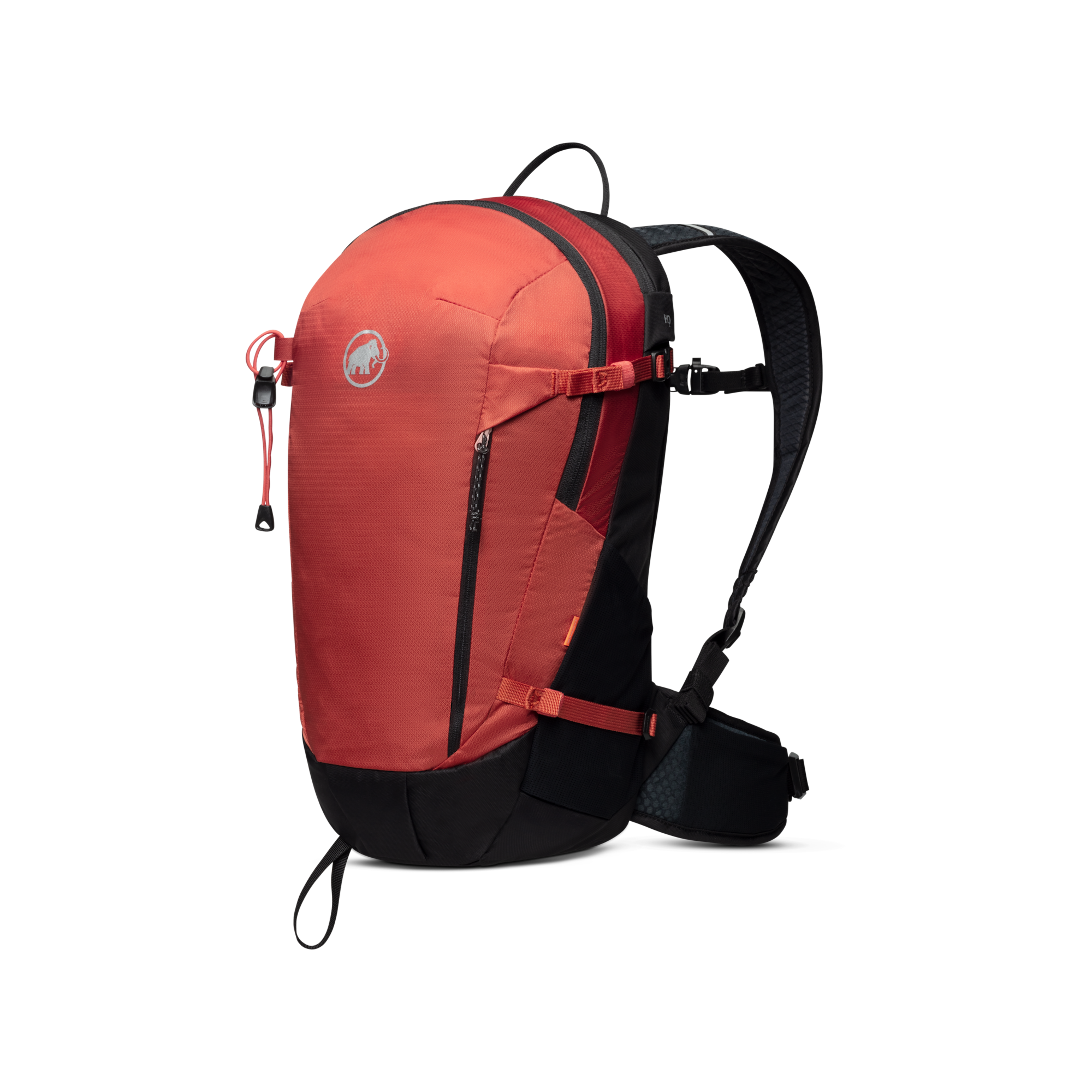
On a mountain trail marked with red-white-red signs, however, you’ll need ankle-high hiking boots or mountaineering boots with good traction, breathable technical clothing, and a suitable hiking backpack with a rain cover, first-aid kit , and plenty of food .
For alpine trails, depending on the hike, you’ll need additional gear such as a sleeping bag or a via ferrata set . You can learn more about this in our guide to hut hikes .
In our Mammut Stories & Guides , you’ll find plenty of other articles on hiking and mountaineering, such as how to choose the right hiking boots , how to plan your hike , or what to do if you encounter a thunderstorm in the mountains . That way, you’ll be well-equipped not only with the right gear but also with the necessary knowledge.
Frequently asked questions about hiking trail markers
What do the colors of the hiking trails mean?
The colors indicate the level of difficulty and the type of trail. In Austria and Switzerland, yellow markings imply easy trails, red-and-white markings indicate mountain trails, and blue-and-white markings denote alpine routes. Other countries use different systems.
How are hiking trails marked?
Through a combination of signposts at junctions, colored markings in between signs, cairns in high-alpine terrain, and larger information boards at starting and ending points.
How are walking times calculated on hiking signs?
As a rule of thumb, expect 4 to 5 km/h on flat terrain, 300 to 400 meters of elevation gain per hour on ascents, and 500 to 600 meters of elevation loss per hour on descents, in each case, for experienced hikers without extended breaks.
What do cairns along the trail mean?
Traditionally, cairns mark the route in areas without trees or clear paths, such as on scree slopes.
Who is responsible for marking hiking trails?
In Alpine countries, this is usually done by alpine clubs such as the Austrian Alpine Club, the Swiss Alpine Club, or the Italian Alpine Club, in collaboration with tourism associations and local municipalities.
What should I do if I can’t find any trail markers anymore?
Stay calm and return to the last known marker. Check your location using a map, compass, or GPS. In an emergency, call the European emergency number 112. You might also find other people who know the way.